🌋
Published | First Author
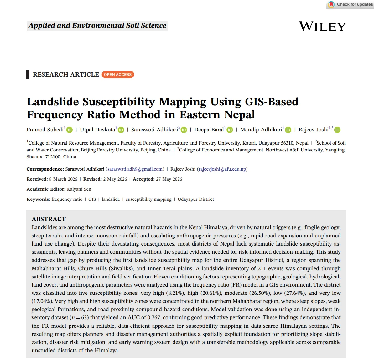
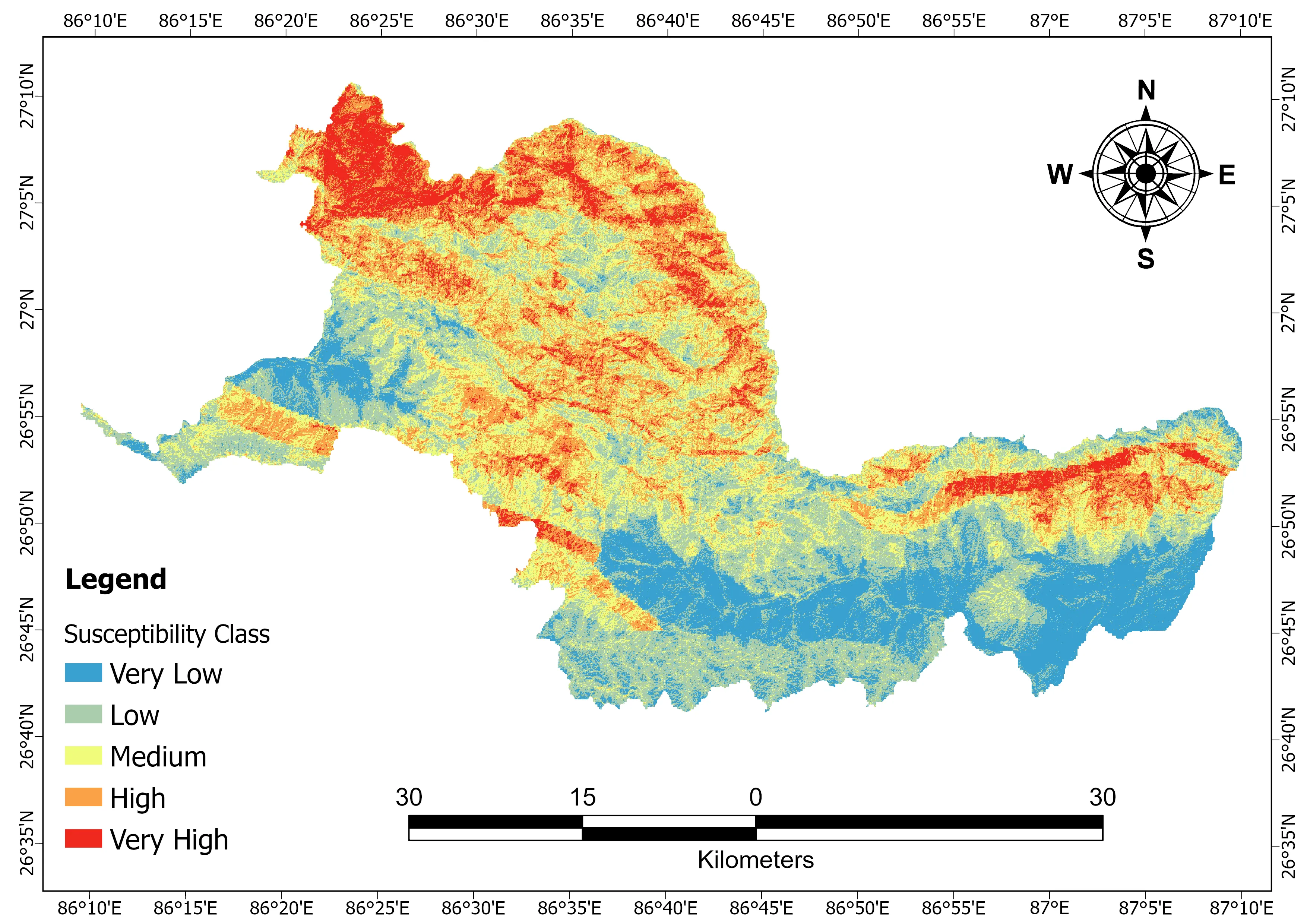
Landslide Susceptibility Mapping Using GIS-Based Frequency Ratio Method in Eastern Nepal
Subedi, P., Devkota, U., Adhikari, S., Baral, D., Adhikari, M., & Joshi, R.
Applied and Environmental Soil Science • 2026
First-author research developing a GIS-based landslide susceptibility model using the Frequency Ratio method. Integrated a field-verified inventory of 211 landslides with 11 conditioning factors and achieved an AUC of 0.767.
211
Landslides
11
Factors
0.767
AUC
GISFrequency RatioRemote SensingDEM Analysis